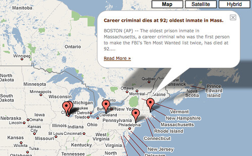
 In class we were talking about ways to make the Atlantic more relevant locally, and I was thinking that an interactive map (probably relegated to a side-bar somewhere on the site) might be a cool way to get people interacting with the site and finding news that's relevant to them. As it turns out, the Associated Press already has a Google Map, and I'm sure other news resources do as well. Maybe something like this could be incorporated onto The Atlantic's site so that after getting the national headlines, people could literally zoom in on their state (even on their neighborhood) and see what's going on near them.
To get an idea of some of the Google Maps already out there, check out the Google Maps Directory.
No comments:
Post a Comment